Short guides to the features riders love — and the ones that aren't obvious at first. Start with trips; it's the idea that ties Trailmark together.
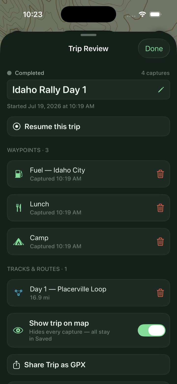
This is the part people miss at first — then can't ride without. Tap Start a trip and from that moment every waypoint and every recorded track files itself under that trip. No folders, no tidying. At camp you open the trip and the whole weekend is in one place.
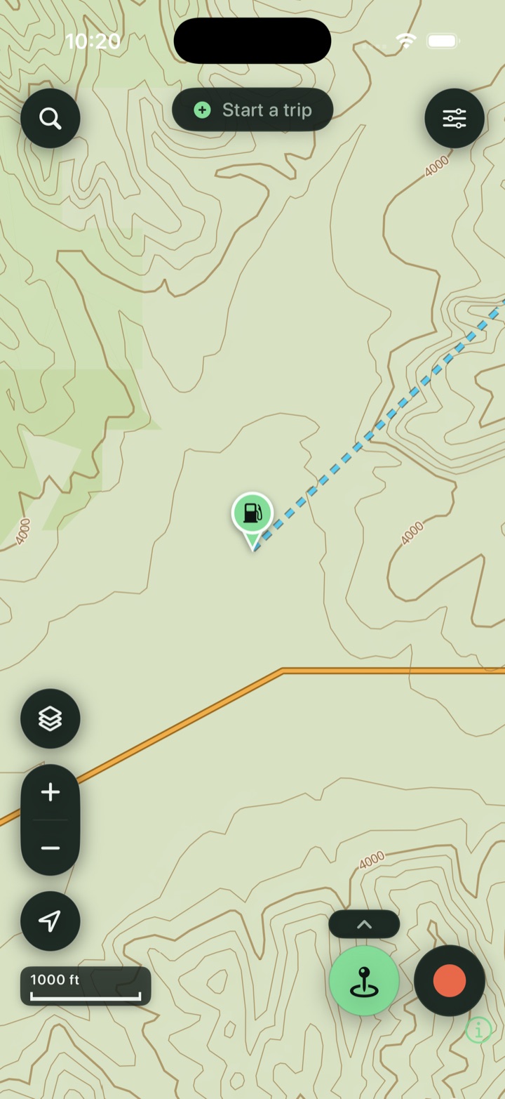
Trailmark's default base is a vector topo that renders on your phone — sharp at every zoom, with contours, terrain, and public land. Download any of the 50 states once and the map, search, and tap-to-identify all keep working in airplane mode.
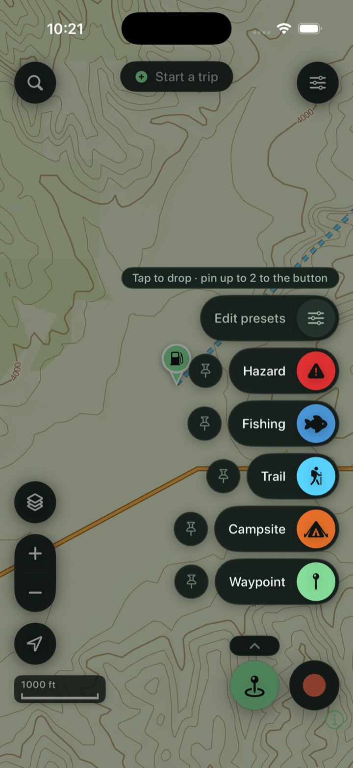
Mark what you see the instant you see it — a campsite, a washout, a great overlook. Pin your two most-used presets to the button so a fuel stop or a camp is a single tap.
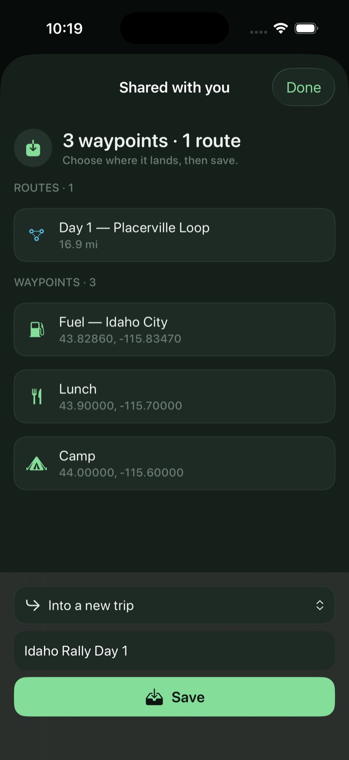
Switching apps shouldn't cost you years of pins and tracks. Trailmark imports GPX, GeoJSON, KML, and KMZ and keeps your colors, routes, and icons. A GeoJSON “All Data” export usually carries the most detail; GPX works too.
The technical line and the easy bypass. The spur to the lookout, if there's time. Save them all on one route as options, then pick what you're actually riding on the day — distance, climb, point count and the fuel verdict all recompose with the choice, and nothing is re-planned, because every option is already snapped and saved.
There are three shapes. An add-on is an out-and-back or a loop that leaves the main line and returns to it — off until you switch it on. A fork is two ways round from one split: A is the main line, B the alternate, and choosing B replaces that stretch rather than adding to it. And a fork doesn't have to come back — choose one that ends the route on its branch and everything the main line did after the split comes off the day.
Switch on the layers you want — USFS roads, USFS trails, MVUM, rec sites, fuel, public land — then tap any road, trail, or parcel to identify it, including who owns the land. 14,000+ USFS campgrounds and trailheads are already on the map nationwide.
Split your saved data into Map layers and My Data, then build custom layers to group waypoints and tracks your way. Tag anything — search and filter the library by tag, bulk-tag a whole selection at once, and rename, merge, or delete a tag everywhere it's used.
Tap the red Record button for live distance, climb, moving time, and top speed — on screen and on the Dynamic Island. Lock the phone; it keeps recording, and recovers your track if the phone dies.
Drop points and snap to the road-and-trail network, get an elevation profile, then follow the line with off-route alerts that buzz before a wrong turn costs you ten miles. Snapping runs offline once you've grabbed that state's routing pack — Trailmark prompts you with the exact state and size while you plan, or add it when you download the state under Tools → Offline maps. Cross a state line and it'll ask for the next pack too.
An option attaches to a line, not to the route as a whole — so a fork can hang off another fork, and off that one again. A nested option is listed underneath the one it branches from, and it's only on the table if you took that branch first. Give each its own color and the map reads at a glance; the color carries into exported GPX, and the whole set travels with the route in backups and in the GPX you share, so your group gets the same choices you had instead of one flattened line.
If the composed route doesn't run past an option at all, no position of its control would change the line — so the control is greyed whichever way it's set, and the row names the choice that's in the way: “Not on the route while Fork 1 is on B.” The row still shows what that option would cost in distance and climb, so you can weigh putting the other choice back, and your setting on it is kept, not reset.
An option can only attach to a line the map is actually drawing, so a trace sometimes comes back with a reason. Both ends have to touch the route — the main line, or a fork you've switched on. Trace along an option that's switched off and it says so, and offers to switch it on first; trace across a stretch a chosen fork has replaced and it points you at the line you can see. Because an option hangs off one line, both ends have to land on the same one — and on one of that line's own points, so start and end at a bend.
Add your bike to My Garage with its range — type the miles, or enter MPG and tank size and Trailmark does the math. Pick it while planning and the route colors green to amber to red by remaining fuel, then flags the last mapped gas before the gap. Detouring on a half-empty tank? Set it to ¾, ½, or ¼ and the range scales to what you've actually got. A saved route says whether it's in range too — on the bike you picked, named on the row, and you can switch bikes or turn it off right there. It's the same choice as planning, so both screens are always about the same bike.
Turn on River Gauges in Layers and tap one for live flow, water temperature, and trend charts — anywhere in the US. Know the crossing before you're standing in it.
Tools → Import & export → Export all data writes one file with everything — waypoints, tracks, trips, photos, settings — or turn on iCloud backup. Restore on a new phone by importing; nothing is lost.
No account needed. Everything lives on your device and works in airplane mode once your state is downloaded — the backcountry doesn't get a signal, and neither does Trailmark need one.